




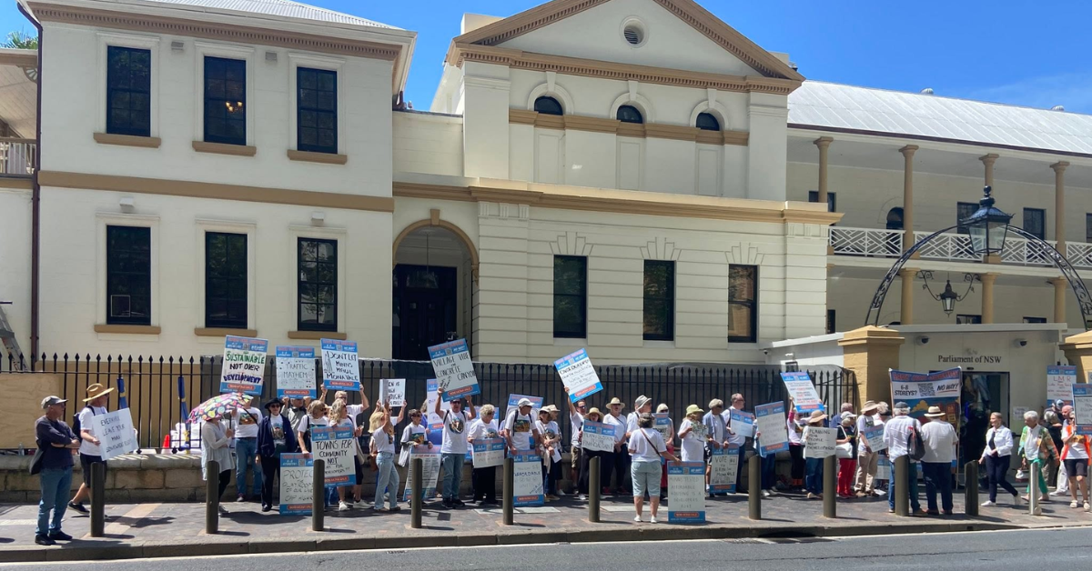
Narrabeen’s flood history and emergency access arrangements have become relevant to wider discussions about infrastructure capacity across Pittwater, following calls for an independent assessment of evacuation routes before further higher-density development.
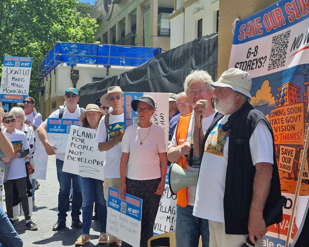
The concerns were raised during a gathering outside NSW Parliament on Wednesday, 21 October 2026, when more than 100 protesters called for a temporary pause on higher-density development in Pittwater pending further infrastructure assessments. Although the request primarily concerned Mona Vale, Narrabeen has experienced flooding that required emergency evacuation arrangements earlier this year.
January Flooding Prompts Evacuation
On Saturday, 17 January 2026, the NSW State Emergency Service directed people around Narrabeen Lagoon, including those at BIG4 Sydney Lakeside Holiday Park, to evacuate before 11.30 pm as floodwaters rose. Mona Vale Memorial Hall opened as an evacuation centre. By 9 am on Sunday, 18 January, the SES had issued advice allowing affected people to return with caution.
The evacuation followed the completion of lagoon entrance clearance works intended to improve water movement and reduce flooding risks. NBC confirmed on 10 December 2025 that more than 30,000 cubic metres of sand had been removed from the lagoon entrance.
The work was intended to improve water flow between the lagoon and the ocean, reducing flood risks for nearby properties and businesses. NBC also advised that coastal conditions could cause sand to accumulate again and restrict the entrance.
The January warning confirmed that flooding continued to require emergency management after the works were completed. However, the available records do not establish that Pittwater Road or Wakehurst Parkway became impassable during the incident.
Narrabeen Evacuation Routes And Flood Planning
Existing flood-management documents include the 2013 Narrabeen Lagoon Flood Study and the 2019 Floodplain Risk Management Study and Plan, which address flooding conditions around the lagoon and surrounding areas. The 2019 plan identifies road overtopping and drainage capacity among the matters requiring consideration in flood management.
The NSW SES also publishes a Northern Beaches Flood Emergency Sub Plan endorsed in April 2021. Whether later assessments or operational revisions have changed the relevant arrangements has not been confirmed. Transport access forms another component of the wider infrastructure discussion, particularly where flooding can affect roads used by surrounding suburbs.
The current housing debate has involved calls for infrastructure and evacuation capacity to be assessed alongside proposed population growth. However, no verified assessment has established how additional housing would affect evacuation times or road capacity in Narrabeen.
Under the NSW Government’s Low and Mid Rise Housing Policy, Mona Vale and Warringah Mall are among the nominated town centres. Narrabeen is not included in that particular list, although other residential development controls may apply.
The request for further infrastructure assessment remains separate from any individual development approval. No new Narrabeen-specific rezoning decision or updated evacuation-capacity finding has been confirmed in connection with the October gathering.
Published 23-October-2026